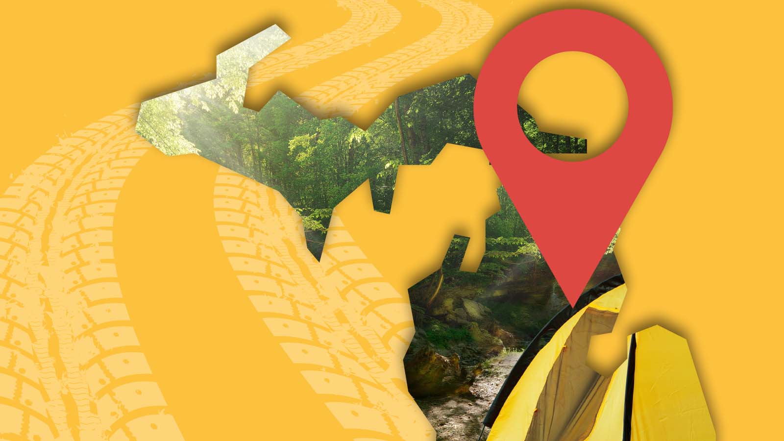
Whether you are planning your next Upper Peninsula Road Trip or looking for a campsite while on the road, this map of Michigan Campgrounds will help you find your campground options.
Over the years when trip planning, we’ve found that Google doesn’t always show us all of our camping options. For example, it often misses the stunning National Forest Campgrounds.
I’m not sure why this is. But in order to combat this problem, we put together this map of all of the campgrounds in Michigan to visualize our options when trip planning.
So if you looking to see what campgrounds you can choose for your next Michigan camping adventure, this map is for you.
It contains all of the National Forest, State Parks and Forests that we could find.
The map also contains some of the private and municipal campgrounds we’ve found while trip planning. We are also working on adding all of the county campgrounds.
This map is updated as we find more available campgrounds. And shoot us an email if we missed one.
Hope this map helps you find all your Michigan camping options.
Let’s go camping!
Map of Michigan Campgrounds
How to Use This Map: Click on the icon on the top left-hand corner. You will now see all of the different categories of Michigan Campgrounds. You can click the checkboxes to the left of the layer name to turn on and off categories. For example, if you only want to camp in a National Forest, you can clock “off” all of the other types of campgrounds to only see the National Forest campgrounds.
For more info on each campground, click on the map icons.
To see the map in more detail, click on the [ ] in the top right-hand corner. This will bring to a larger map where the details of each point can be found by clicking on the location point name in the list on the left.
You can also save the map for your own use, click the to the right of ⭐ the map name. This will save the map to your Google Maps where you can make a copy and use it for your own trip planning.
Do you want to create your own Google Map? Check Out How to Plan a Road Trip With Google Maps
More Michigan Travel Content:
Michigan Waterfall Map
Things to Do in the Keweenaw Peninsula
Upper Peninsula Road Trip: Must-do’s
